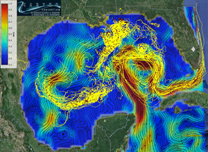
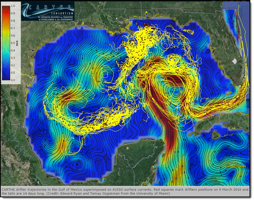
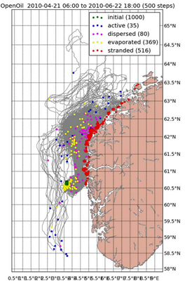
(Click to enlarge) CARTHE drifter trajectories in the Gulf of Mexico superimposed on AVISO surface currents. Red squares mark drifters positions on 9 March 2016 and the tails are 14 days long. (Credit: Edward Ryan and Tamay Ozgokmen from the University of Miami)
The Consortium for Advanced Research on Transport of Hydrocarbon in the Environment (CARTHE) conducts unprecedented experiment to improve oil fate models.
Predictions for decisions – our world relies on them, from daily weather to annual financial forecasts. Predictions, though, are only as good as the information that goes into making them. And those predictions carry even more weight when they involve human safety in situations like storm tracking, search and rescue, and pollution monitoring.
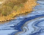
The Gulf Coast experienced such a situation during the Deepwater Horizon oil spill. Answers to where was the oil going, how much was involved, and when would it arrive would influence many decisions. Responders used the best available resources for decision-making, but the blowout’s magnitude and depth was a first for the Gulf and the need for improved transport modeling became apparent.
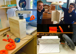
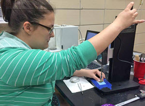
A 3-D printer created small-scale drifter prototypes (photo: Novelli). Top right: Cedric Guigand and Guillaume Novelli hold the 1st production-grade assembled drifter after they and Charles Cousin conducted two years of R&D (photo: Ozgokmen). Bottom right: Full and half-scale drifters side by side. The surface ring provides buoyancy; its open design and narrow neck prevent wind from lifting or tilting the drifter. (Photo: Novelli)
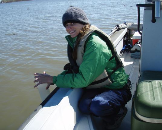
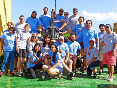
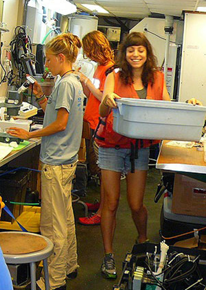
The CARTHE group, 75 researchers and staff representing 26 institutions, recently carried out a month-long experiment in the Gulf of Mexico named the LAgrangian Submesoscale ExpeRiment or LASER. Their goal: make quantum leaps in improved ocean transport predictions. Years of planning, designing, and testing preceded this highly-orchestrated event that went beyond previous scales and scope.
Using two research vessels, three planes, and cutting-edge technology, the LASER team acquired troves of ocean data from hundreds of survey miles; 1,000 biodegradable drifters; 8,000 high-resolution photos; 10,000 biodegradable drift cards; and 500,000 infrared images. This monumental effort is already paying off big dividends with nearly ten million data transmissions to date, providing information that prediction models can use now.
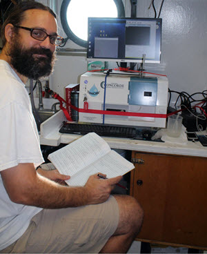
“We produced a wonderful dataset. I don’t think anything quite like this has been done before.” Professor Eric D’Asaro, Applied Physics Laboratory and School of Oceanography, University of Washington and LASER’s Scientific Lead and Chief Scientist on MV Walton Smith
SOME BACKGROUND
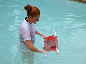
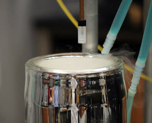
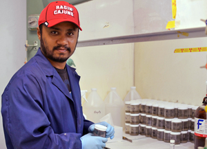
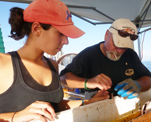
The team conducted thousands of drifter tests and experiments in the SUSTAIN wind-wave tank. L: Cedric Guigand tests a drifter. Top Right: The tank’s wind-generating machine. The difficult and creative work resulted in significantly improved drifters with a patent application. (Photos: Ozgokmen)
The theories driving CARTHE research are that the accurate prediction of an oil spill’s first mile of transport is critical for accurately predicting its last mile and that surface transport is strongly influenced by what’s happening just below the sea surface and where air and water meet.
CARTHE’s first experiment, the Grand LAgrangian Deployment or GLAD, was the largest oceanic surface drifter deployment to date and demonstrated the importance of observing surface currents for accurate transport predictions. The 317 GLAD drifters rapidly spread in the first few hours and days, then continued more slowly afterwards. GLAD data improved operational circulation models, but they needed more detailed observations on the physical processes driving surface dispersion. So LASER picked up where GLAD left off, collecting high-resolution data that measures complex upper-ocean processes driving the initial quick burst and longer-term dispersion. LASER data will complement the GLAD data and provide better understanding about seasonal variability and its influence on water transport.
NOVEL TACTICS AND TECHNOLOGY FOR OCEANOGRAPHIC STUDIES
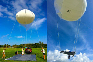
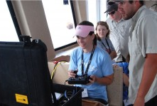
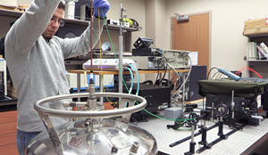
The aerostat team conducts field tests to check the winch, lines, and the camera platform. Dan Carlson led the development of the aerostat and its imaging platform that carried a 50 mega-pixel Canon DSLR camera. (Photos: Ozgokmen)
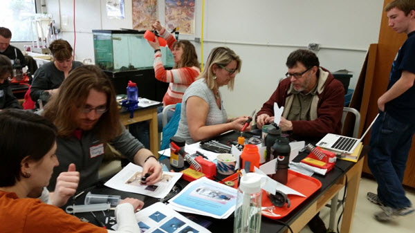
The LASER team went back to the drawing board to advance ocean transport predictions. They spent more than two years researching and developing a new generation drifter that addressed limitations of the GLAD drifter design. The new drifter had to be biodegradable, light weight, compact, cost efficient, easily produced and assembled, and could float and track currents in high winds and waves.
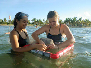
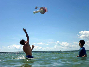
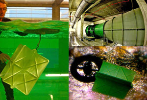
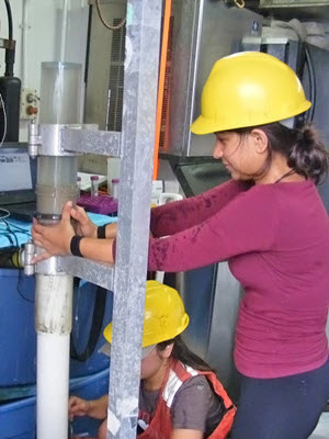
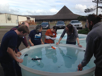
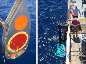
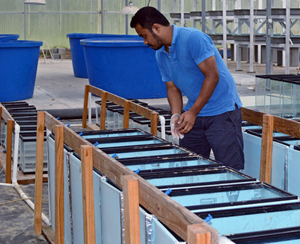
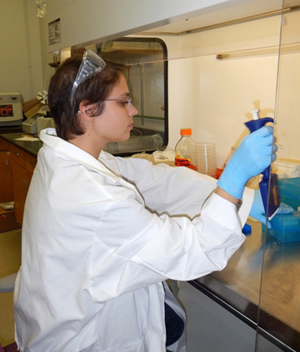
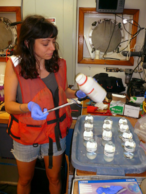
An operational version emerged after experiments in the SUSTAIN wind-wave tank facility and in nearby Biscayne Bay. These ‘roving detectives’ equipped with satellite trackers can transmit data for several months without leaving behind thousands of plastic skeletons (drifters are 99.9% biodegradable due to their tiny GPS board). Researchers also designed autonomous 3-D Lagrangian floats that measure vertical velocities a few meters below the sea surface. These floats and drifters provide data to advance knowledge about surface and water column transport.
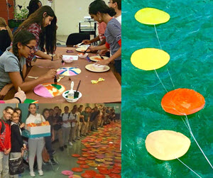
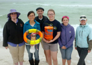
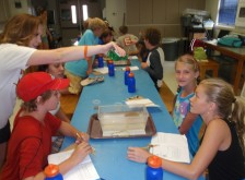
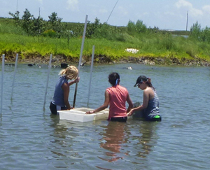
Top Left: Forrest Glenn Middle School students paint drift cards. Bottom Left: West Miami Middle School students display their painted drift cards. R: Test drift cards in Biscayne Bay. (Photos by CARTHE)
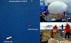
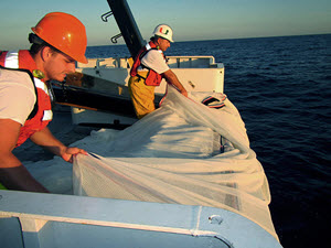
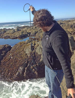
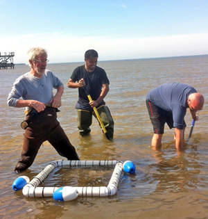
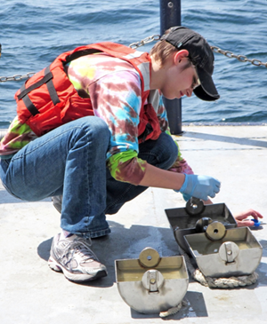
Complementing the drifters were bamboo drift cards, which local middle-school students helped color for visual identification using non-toxic paint. Researchers used these drift cards to measure dispersion by waves, winds and ocean currents at scales of 1 meter-100 meters and seconds-hours. The cards thin design (~1 millimeter) allowed researchers to capture the top-most surface velocity needed for oil dispersion studies. Since the cards could not be fitted with tracking devices, the team developed a Ship-Tethered Aerostat Remote Sensing System (STARSS) – a helium-filled balloon carrying a high resolution camera and positioning system – to provide spatial context and real-time observations of drift card dispersion and surface features.
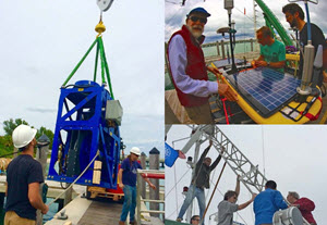
L: Crews load the towed CTD on the Walton Smith. Top Right: Eric D’Asaro (L) helps situate one of the solar-and-wave-powered gliders which travels 14 days at 1 m/s. Bottom Right: Brian Haus and team set up the X-Band Radar tower that takes 1 m resolution wave measurements in a 3 km radius. (Photos: D’Asaro and Ozgokmen)
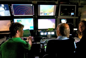
LASER incorporated aircraft surveys, ship measurements, and real-time assimilative models to guide drifter deployments under cloudy conditions and identify quickly-evolving features. Two dual-engine Partanavia p86 planes from the University of California, Los Angeles (UCLA) and Scripps Institution of Oceanography operated high-resolution thermal and hyperspectral imagers that geo-rectify images. The NASA Jet Propulsion Laboratory (JPL) provided a high-resolution AirSWOT, an airborne version of a new altimeter sensor to be installed on satellites in 2020. The JPL-CARTHE collaboration provided ground truthing for NASA sensor measurements and additional detailed mapping capability for LASER.
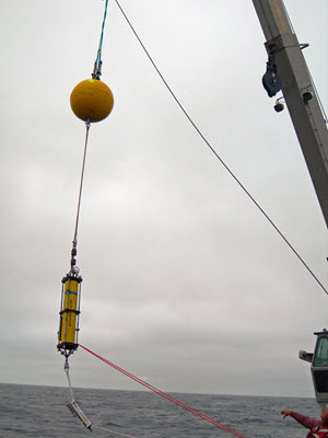
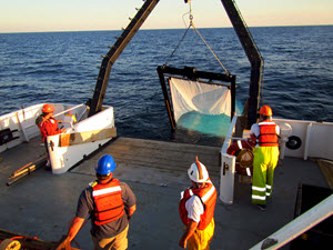
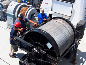
Shipboard surveys provided fine-scale real-time data on air-sea flux, density, temperature, salinity, velocity, wind, and waves. Instruments included an Acoustic Doppler Current Profiler; a Rockland Scientific Profiler; a towed conductivity, temperature, and depth (CTD) system (freeing the crew from making numerous, single-point casts); an X-band wave radar tower; meteorological buoys; and robotic wave gliders. The University of Miami Coupled Atmosphere-Wave-Ocean Model and the Navy Coastal Ocean model assimilated incoming data. The modelling team made available the resulting high-resolution forecasts of weather, waves, and circulations in real time through a central website to aide LASER deployment decisions.
LASER BY LAND, SEA, AND AIR
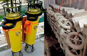
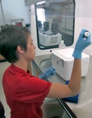
L: Autonomous 3D Lagrangian floats, ready for vessel loading, measure vertical velocities in the turbulent mixed layer (photo: Ozgokmen). R: Surface drifters in a container ready to launch. (Photo: Novelli)
“I was excited about LASER, but sobered by the magnitude of what we needed to accomplish.” Eric D’Asaro on transitioning from planning to execution
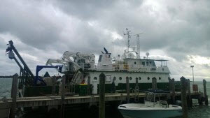
It took almost three days to load ten tons of equipment on the R/V Walton Smith and U/V Masco VIII. Teams manned forklifts and loaded containers with drifters, cards, gliders, and the aerostat. They welded winches, bolted down the wave radar tower, and tested connections for data exchange and communications. Modelers ran forecasts while the Walton Smith sailed from Miami to join the Masco VIII in Key West. Crews battened down the hatches and waited out a storm, then set sail together on January 18 with threatening skies and rough seas as their constant companions for the next month.
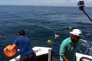
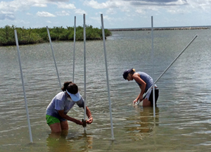
L: The Masco VIII tows the aerostat as it images drift cards (credit Dan Carlson). Top right: The crew rescues the aerostat from being dislodged by wind (provided by CARTHE). Bottom right: Crews deploy drifters in rough seas across from the Walton Smith. (Photo: Novelli)
Intense storms set the crews’ timing and pace. Everyone braced for demanding work, assembling and staging drifters and communicating constantly as they organized day and night shifts to work during fair weather windows. The UCLA plane generated sea-surface-temperature (SST) maps for the first deployment site where the crews worked speedily as weather deteriorated, deploying 300+ drifters in five hours and surveying the area. Then they headed for safe harbor in Gulfport, MS.
A variety of adjustments had to be made while at sea. The teams identified islands near the mouth of the Mississippi River to wait out storms and quickly return to work. The Masco VIII crew constructed a hammock to keep the aerostat out of water pooling on deck. The UCLA plane conducted 6+ hours of aerial surveys, identifying frontal features and producing nearly instantaneous maps of the 10km x 10km region where crews deployed drifters, gliders, and drift cards. The Masco VIII team imaged the drift cards with the aerostat for six hours. The Walton Smith team surveyed a freshwater front’s leading edge, releasing drifters and a glider for continued data gathering.
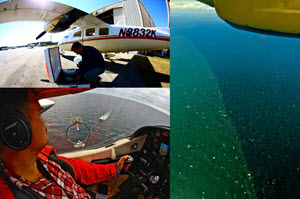
Top left: Jeroen Molemaker prepares the UCLA plane. Bottom left: Aerial view of LASER operations. R: Aerial surveys found strong frontal features. (Photos: Ozgokmen)
Crews were on their way to the next site but had to return to island shelter as a forth storm passed. Long hours and rough conditions began taking a toll: equipment malfunctions caused the aerostat to tear, the planes’ imaging equipment needed repairs, the Masco VIII’s internet stopped, and the Walton Smith’s water filtering pump broke requiring strict water rations. But everyone rallied. UCLA, Scripps, and the NASA/JPL aircraft jointly surveyed drifters, final deployment sites, and fronts. Making up lost time, three pilots took shifts on the UCLA plane and conducted a 110-hour around-the-clock mission.
“The aerial observation crew’s determination and the maps they produced injected Red Bull into LASER, giving the team tremendous focus to capture some of our most valuable data.”Professor Tamay Ozgokmen, Rosenstiel School of Marine and Atmospheric Science, University of Miami and CARTHE Director
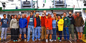
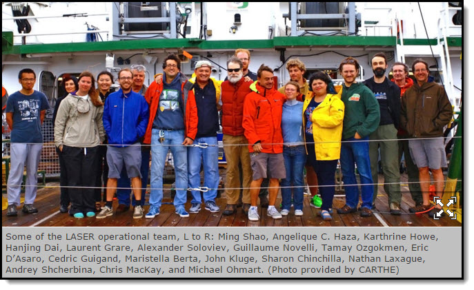
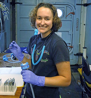
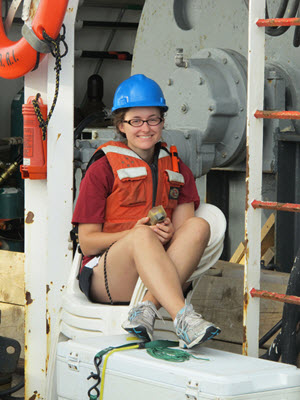
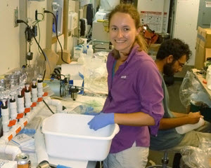
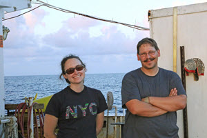
(Click to enlarge) Some of the LASER operational team, L to R: Ming Shao, Angelique C. Haza, Karthrine Howe, Hanjing Dai, Laurent Grare, Alexander Soloviev, Guillaume Novelli, Tamay Ozgokmen, Eric D’Asaro, Cedric Guigand, Maristella Berta, John Kluge, Sharon Chinchilla, Nathan Laxague, Andrey Shcherbina, Chris MacKay, and Michael Ohmart. (Photo provided by CARTHE)
Over a 14-hour period, teams deployed one drifter every six minutes and released drift cards tracking them and a nearby front with the aerostat for nearly seven hours. They deployed gliders, buoys, and took shipboard measurements and imagery of air-sea fluxes, density, and surface and subsurface structures. Again, they scurried for shelter from yet another storm, but their priority work – capturing small-scale ocean processes that had never been measured – was done.
The Masco VIII steamed home to Key West while the Walton Smith crew found and inspected 18 drifters for damage. Aerial observations located 100+ drifters converging near the Deepwater Horizon site, so the Walton Smith crew released the 3D Lagrangian floats to measure vertical velocities there. They also completed a 24-hour moving-vessel-profiler survey and then headed to Miami. Safely home on February 15, they celebrated their successful month-long field campaign, happy to hear that over four million drifter position transmissions had already been received.
WHAT’S NEXT?
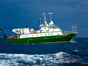
The RV Walton Smith steaming to the Desoto Canyon in the Gulf of Mexico. (Photo: Novelli)
A period of introspection and data analysis follows. LASER’s millions of datapoints and images presents organization challenges and requires automated methods for quality control and analysis. Preliminary evaluation shows that the innovative approach of high-resolution SST and drifter data revealed small scale ocean structures not previously observed. LASER’s wealth of information can be leveraged for years to come as its data is made available in the Gulf of Mexico Research Initiative Information and Data Cooperative (GRIIDC) system.
“LASER pushed the boundaries of ocean observations, furthering our understanding about the processes that govern upper-ocean transport. Lessons learned from LASER will help us do an even better job in the next experiment.” Jeroen Molemaker, University of California at Los Angeles and LASER’s Aerial Observations Chief Scientist
CARTHE’s next experiment, Submesoscale Processes and Lagrangian Analysis on the Shelf or SPLASH, will build upon their previous Surfzone Coastal Oil Pathway Experiment or SCOPE that measured processes influencing the last mile of oil transport. Their subsurface plume research is combining laboratory and numerical modeling to understand how hydrocarbons move through the water column.
Advancing ocean science wasn’t the only thing LASER accomplished – it provided field experience and professional development for graduate students and young scientists, using a bigger-picture interdisciplinary approach to investigate ocean processes.
Scientists will use data from GLAD, SCOPE, LASER, and SPLASH to construct a more complete picture of transport pathways and physical processes near the Deepwater Horizon site and continental shelf regions. This information will assist in reconstructing flows above and below the sea surface, allowing for improved retrospective analysis of spills and transport predictions in future emergencies. CARTHE’s research has far-reaching applications with new scientific insights that can inform navigation, energy production, climate science, hurricane predictions, search and rescue, and beach safety.
************
This research was made possible in part by a grant from the Gulf of Mexico Research Initiative (GoMRI) to theConsortium for Advanced Research on Transport of Hydrocarbon in the Environment (CARTHE).
The GoMRI is a 10-year independent research program established to study the effect, and the potential associated impact, of hydrocarbon releases on the environment and public health, as well as to develop improved spill mitigation, oil detection, characterization and remediation technologies. An independent and academic 20-member Research Board makes the funding and research direction decisions to ensure the intellectual quality, effectiveness and academic independence of the GoMRI research. All research data, findings and publications will be made publicly available. The program was established through a $500 million financial commitment from BP.

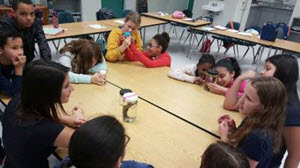

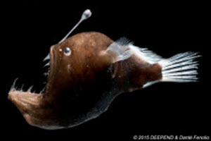
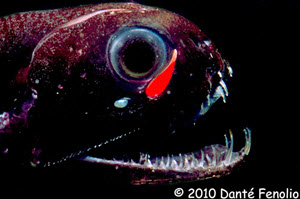
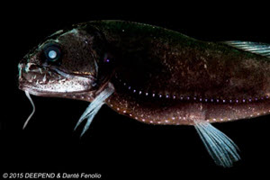
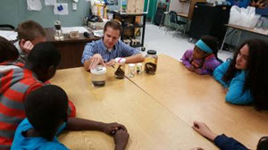 To start, Mike and I briefly explained how the Deepwater Horizon Oil Spill influenced the need for research and baseline data in the Gulf of Mexico and how we were sampling the Gulf’s ecosystem. The students found the discrete depth sampling of the MOCNESS net to be very interesting, and throughout our discussions, I stressed the term diel vertical migration. This was a new term for most students, and they were shocked to hear that it is the world’s largest migration! After our short presentation and tons of questions, we split into two groups to talk about at the deep sea fishes we brought in to share with them. With each specimen, we stressed the importance of the adaptations it uses to survive in the deep sea. The students loved the hands-on experience, and their questions were endless! Overall, I had an amazing time teaching the students about the work that we do for the DEEPEND Consortium. It was great to see how students as early as 6th grade were curious about life in the deep sea.
 Jason II being deployed")

 The Deepwater Horizon oil spill initiated an unprecedented response effort and mobilized the largest, coordinated scientific research endeavor around an ocean-related event in history; the Gulf of Mexico Research Initiative (GoMRI).
 The
The 

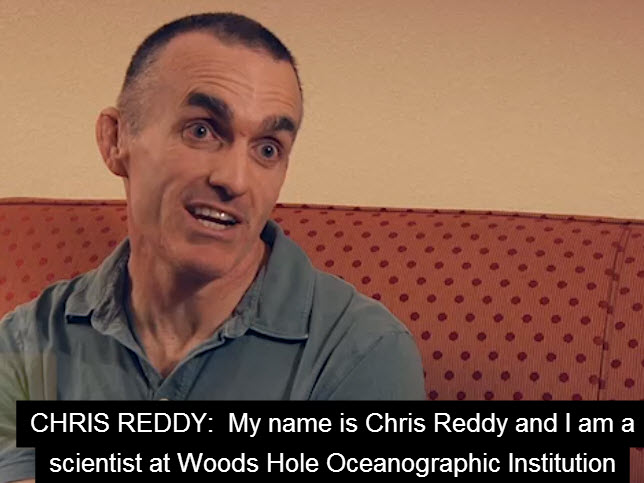
 WUSF’s Steve Newborn talks with two scientists who are involved in the study,
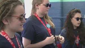
 A new, open source software for modeling the trajectories and fate of particles (Lagrangian Elements) drifting in the ocean, or even in the atmosphere, has been developed a the

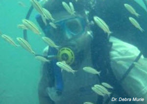 Dr. Debra Murie
 After the Deepwater Horizon incident, the coastline oiling that occurred raised questions about oil movement and impact. For example, before a surface slick reached land, was there oil below the surface waters and how might that affect coastal environments and organisms?
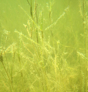
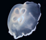 Jellyfish push water in and out of their bells to propel themselves forward. Researchers are investigating if and how the small underwater waves and currents created by Jellyfish movements can help break up oil spilled in marine ecosystems.
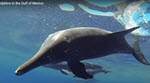
 A seminar series by
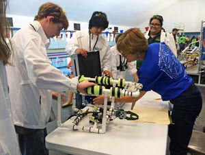


 A fourth grade class at Singapore American School found


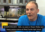
 Learn how scientists are studying what happens to spilled oil and over time how it affects the environment.
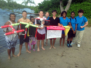
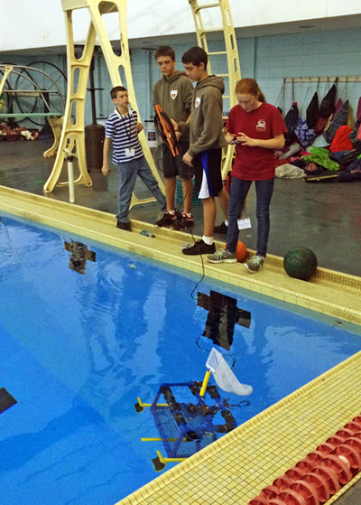
 Watch how these high school students work alongside Woods Hole Oceanographic Institution experts conducting oil spill science.
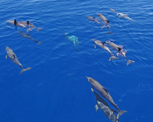
 Did whale and dolphin populations change after the oil spill? Prior monitoring indicated that large numbers of these deep-diving marine mammals were living near the Deepwater Horizon site.


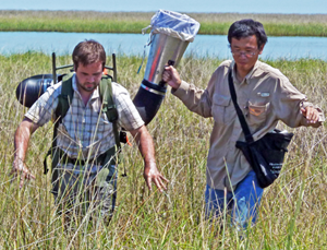
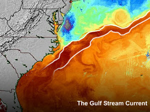
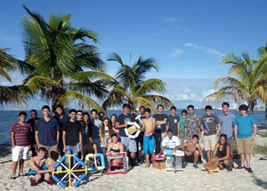
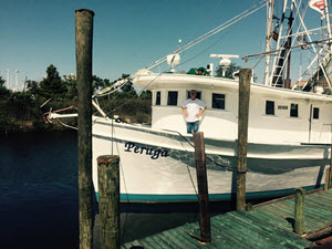
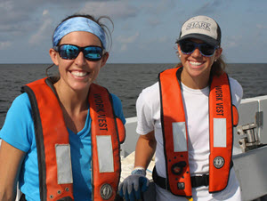
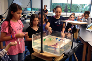
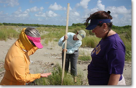
 Scientists from the University of Miami have been visiting our area for the last three weeks studying the movements of ocean currents along the coast in order to observe how they carry oil, fish larvae or toxins in the water.